Description
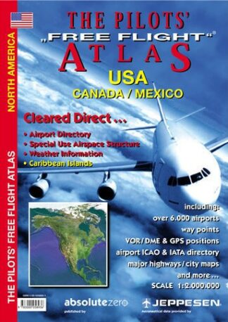
Pilot’s ‘Free Flight’ Atlas USA
The first atlas designed for pilots that allows you to see immediately where you are in relation to the airways structure, airports and features on the ground.
The cartography includes mountain ranges, lakes, rivers, major highways, railways, cities and towns, with an overlay of 6,000 airports, colour coded by runway length/surface and airfield type. Points of interest or historical value are also indicated. There are also navigation aids (VOR/DME, ADF), waypoints, VOLMET frequencies and restricted airspace. The atlas includes political maps, distance and VOLMET broadcast maps, satellite pictures, a city map section with 11 cities and 46 pages of ICAO/IATA airport directory, world aircraft registrations, weather section, planning minima, conversion tables, airport signals, etc.
Covers the entire USA, Canada and Mexico.
Softback, 192 pages